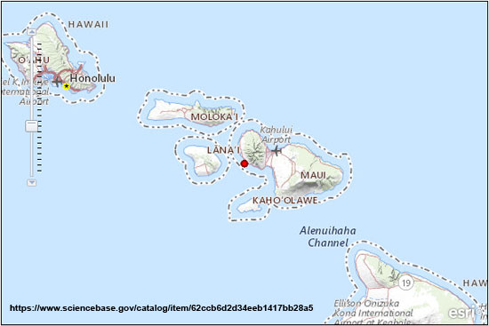
 The USGS Pacific Islands Water Science Center is releasing the data for “Seepage-run discharge measurements on the islands of O‘ahu, Moloka‘i, Maui, and Hawai‘i, 2018 to 2022," by Lhib Pagaduan and others (https://doi.org/10.5066/P9OAAT22). This is part of the cooperative study with the Hawaii Commission on Water Resource Management to assess streamflow availability under low-flow conditions for streams on the islands. The data consists of discrete discharge measurements that form what is commonly referred to as a “seepage run.” The intent of the seepage run is to quantify the spatial distribution of streamflow along the reach during fair-weather, low-flow conditions, generally characterized by negligible direct runoff within the reach. The measurements can be used to characterize the net seepage of water into (water gain) or out of (water loss) the stream channel between measurement sites.
Citation: Pagaduan, L.D., Nakama, R.K., Cheng, C.L., Shimizu, B.H., Heinz, R.J., Rochester, R.A., Nishimoto, D.C., Whisenhunt, A.M., Okuhata, B.K., Tobias, C.W., and Kāne, H.L., 2023, Seepage-run discharge measurements on the islands of O‘ahu, Moloka‘i, Maui, and Hawai‘i, 2018 to 2022: U.S. Geological Survey data release: https://doi.org/10.5066/P9OAAT22.