
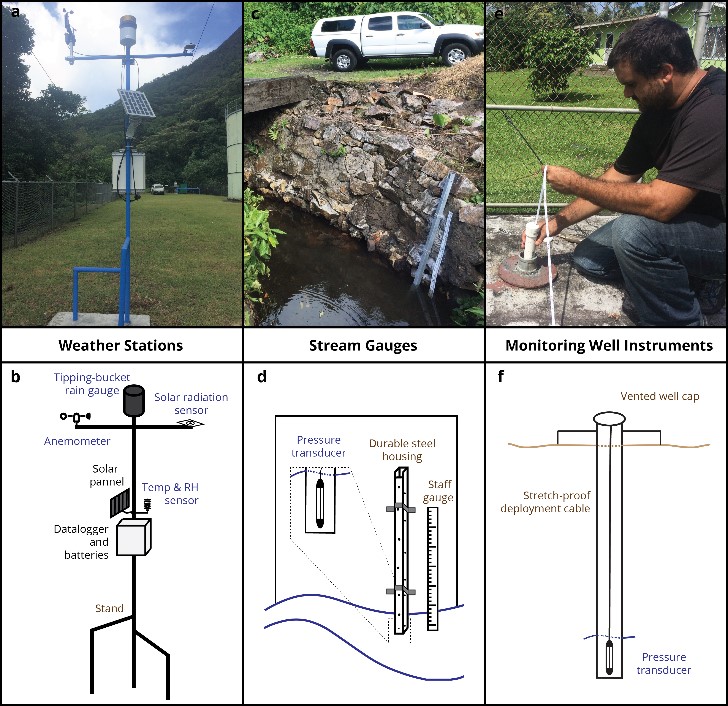
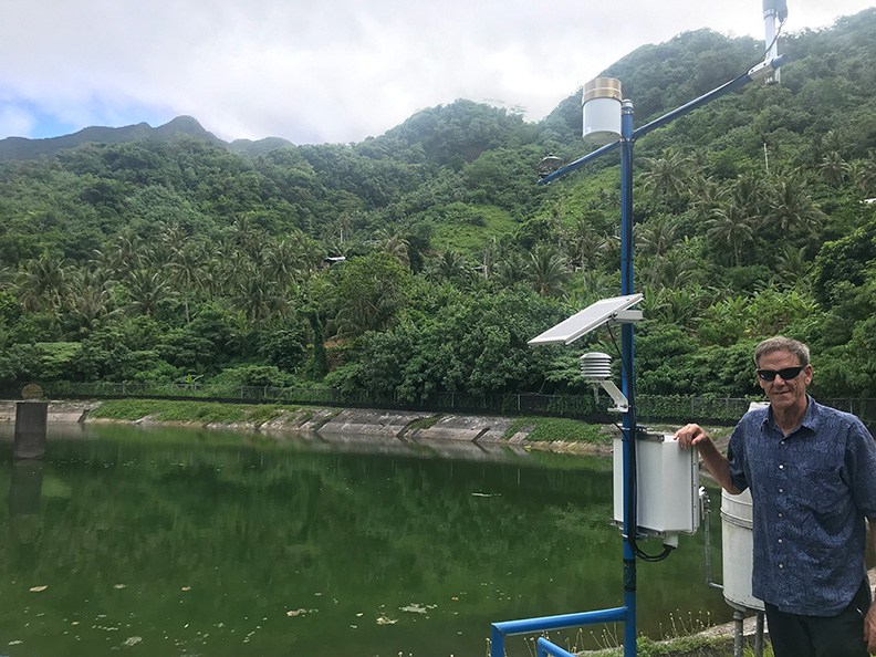
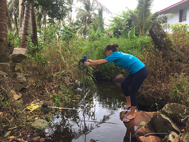
UH-ASPA Hydrologic Monitoring Network
Hydrologic datasets are essential for the design of sustainable water supply systems and the prediction or detection of acute threats to drinking water quality or availability. We developed a hydrologic monitoring network consisting of 21 instruments including weather stations, stream gauges, and monitoring well dataloggers on the Island of Tutuila, American Samoa.
A Participatory and Model Based Approach to Assessing Groundwater Recharge Under Contemporary and Future Climate Scenarios: Tutuila, American Samoa
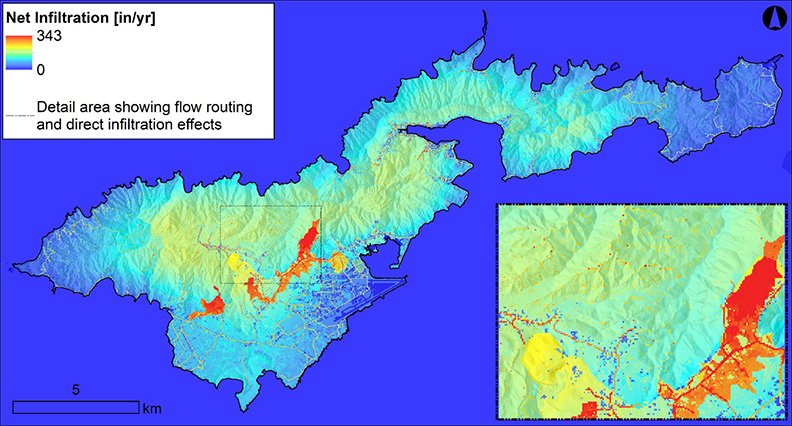
A water budget approach using the Soil Water-Balance-2 model was applied to Tutuila Island in American Samoa. We also assessed potential future change in recharge by substituting rainfall and temperature projections from dynamically downscaled climate global climate model predictions and possible future land-cover scenarios developed with local stakeholders.
ASPA-UHWRRC Integrated Groundwater Modeling Framework
This work presents a collaborative modeling framework developed by participants at the American Samoa Power Authority and at the University of Hawai‘i Water Resources Research Center. The framework includes modular components including collection and analysis of climatic and streamflow data and development of a water budget model and groundwater model.
Ridge to Reef Management Implications for the Development of an Open-Source Dissolved Inorganic Nitrogen Loading Model in American Samoa
We developed a dissolved inorganic nitrogen (DIN) loading model by integrating commonly available datasets within a geospatial modeling framework for Tutuila, American Samoa. The model integrated an open-source water budget model, water sampling results, and publicly available streamflow data to predict watershed-scale DIN loading to the island’s entire coastline.
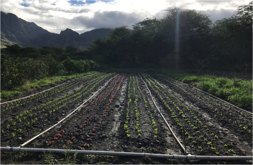
Real-Time Optimization of Irrigation Scheduling for Farmlands in Hawai‘i, Guam, and American Samoa
The project objective is to expand the capabilities of the CropManage online irrigation scheduling tool to include tropical island parameters such as soil and climate, and to adapt the tool for a wider geographical region that includes the Pacific Islands.

Fecal Indicators and Their Associated Health Risk in American Samoa’s Watersheds
The goal of this project is to improve surface water monitoring programs in American Samoa by validating methods capable of discriminating between contaminations sources and investigating the health risk association of pathogen indicators in selected watersheds on Tutuila island.